
GIS
February 4, 2023
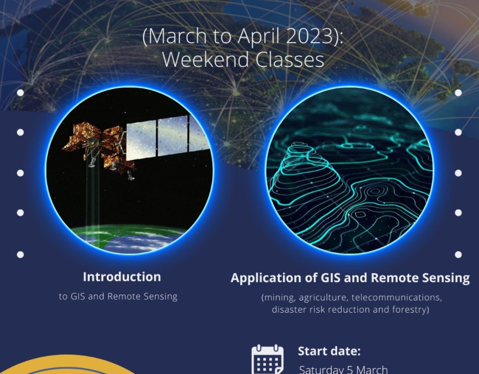
Zimgeo GIS & Remote Sensing Bootcamp (March to April 2023) The bootcamp comprises of 2 broad categories for the GIS and Remote Sensing Training. The first […]
January 15, 2023

Introduction Remote sensing refers to acquiring and interpreting images of the earth from a distance. Remote sensing techniques have been used to detect ore deposits in […]
January 15, 2023

Introduction The agricultural sector in Zimbabwe continues to be important, and remote sensing has been used to help it. Introduction Remote sensing is a technology that […]
January 15, 2023
Introduction Zimbabwe is a country in Southern Africa, bordering South Africa, Botswana and Mozambique. The country has a population of over 16 million people and its […]