


GIS
Remote Sensing & Spatial Analysis
Harness remote sensing and geographic information systems (GIS) to manage earth resources. Predict disease outbreaks and crime patterns using spatial statistics
Mapping
Photogrammetry, Drone Imagery & Aerial Surveys
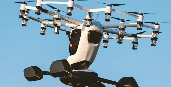
Through the use of geospatial technology which permits autonomous flight, GIS mapping drones are revolutionizing how remote sensing data collection is taking place at job sites across Zimbabwe. and around the world.
Consultancy
Tutorials, Geo-Apps, Surveys, EIAs

GIS tutorials, consultancy in the usage of remote sensing for Precision agriculture, volumetric analysis, surveys, data collection, Environmental Impact Assessments.
ZIMGEO
Locate | Analyse | Decide
We proud ourselves in having seasoned specialist in various methods including, data collections, surveys, GIS and Remote Sensing, Spatial Analysis and Mapping, Drone Aerial Imagery, Environmental Consultancy
ZIMGEO is a environment and geospatial solutions provider and aerial survey company using remote sensing and in-situ technologies, based in Zimbabwe. We specialise in high accuracy Radar, Lidar , Hyperspectral and Drone Imagery; as well as a range of Satellite Imagery products for use in the infrastructure, mining, urban mapping, agriculture and environmental sectors.
Read moreSkills
Professional GIS, Remote Sensing, Spatial Analysis Specialists
GIS & Remote Sensing
Geo App Development & Geo-Computations
Spatial Statistics
Mapping & Photogrammetry.