Navigating the Flow: How GIS and Remote Sensing Steer Harare’s Drainage Towards a Brighter Future

Benefits of Geospatial Technologies in Zimbabwe
April 23, 2023
Satellite Eyes Over Zimbabwe: Unlocking Potential with High-Resolution Data
January 31, 2024Navigating the Flow: How GIS and Remote Sensing Steer Harare’s Drainage Towards a Brighter Future

Harare, a vibrant metropolis nestled in the heart of Zimbabwe, faces a growing challenge: managing its complex drainage system. Heavy rains and rapid urbanization often overwhelm storm drains, leading to flooding, infrastructure damage, and public health concerns. To navigate this intricate network and optimize drainage, Zimgeo, a leading environmental and geospatial solutions provider, leverages the power of Geographic Information Systems (GIS) and Remote Sensing (RS) technologies.
Harnessing the Power of Spatial Data:
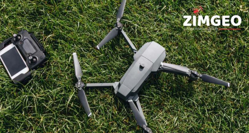
Zimgeo’s approach begins with comprehensive data collection. High-resolution aerial imagery captured using drones or satellites provides a detailed bird’s-eye view of the city’s drainage infrastructure. LiDAR (Light Detection and Ranging) technology offers precise elevation measurements, creating a digital terrain model that maps every incline and curve of the land.
Unveiling the Hidden Network:
This data treasure trove is then fed into advanced GIS software. With meticulous precision, Zimgeo maps every stormwater inlet, drain, canal, and river course, creating a digital replica of Harare’s intricate drainage network. This map, layered with rainfall data and historical flood patterns, reveals hidden connections and identifies critical chokepoints prone to congestion during heavy downpours.
Predicting the Path of Water:
By analyzing historical drainage patterns and real-time precipitation data, Zimgeo’s experts can predict the flow of water during storms. This foresight empowers city officials to take proactive measures, such as clearing debris from drains or temporarily diverting overflow before flooding occurs.
Beyond the Floodwaters:
Zimgeo’s solutions extend beyond immediate flood mitigation. By analyzing long-term trends, the company can identify areas at risk of future flooding due to urban development or changing weather patterns. This information is crucial for informing city planning and infrastructure development, ensuring sustainable drainage systems for years to come.
A Collaborative Effort:
Zimgeo emphasizes collaboration and knowledge sharing. The company strives to engage with city officials, community leaders, and residents to gather feedback and tailor their solutions to the specific needs of Harare. This inclusive approach fosters a sense of ownership and empowers communities to play an active role in protecting their city from flooding.
Conclusion:
Through its innovative application of GIS and RS, Zimgeo is proposing a new course for Harare’s drainage management.
Visit Zimgeo’s website or contact the company to learn more about how they can help your city or community navigate its unique drainage challenges. Together, we can ensure that water flows smoothly, not over our streets.